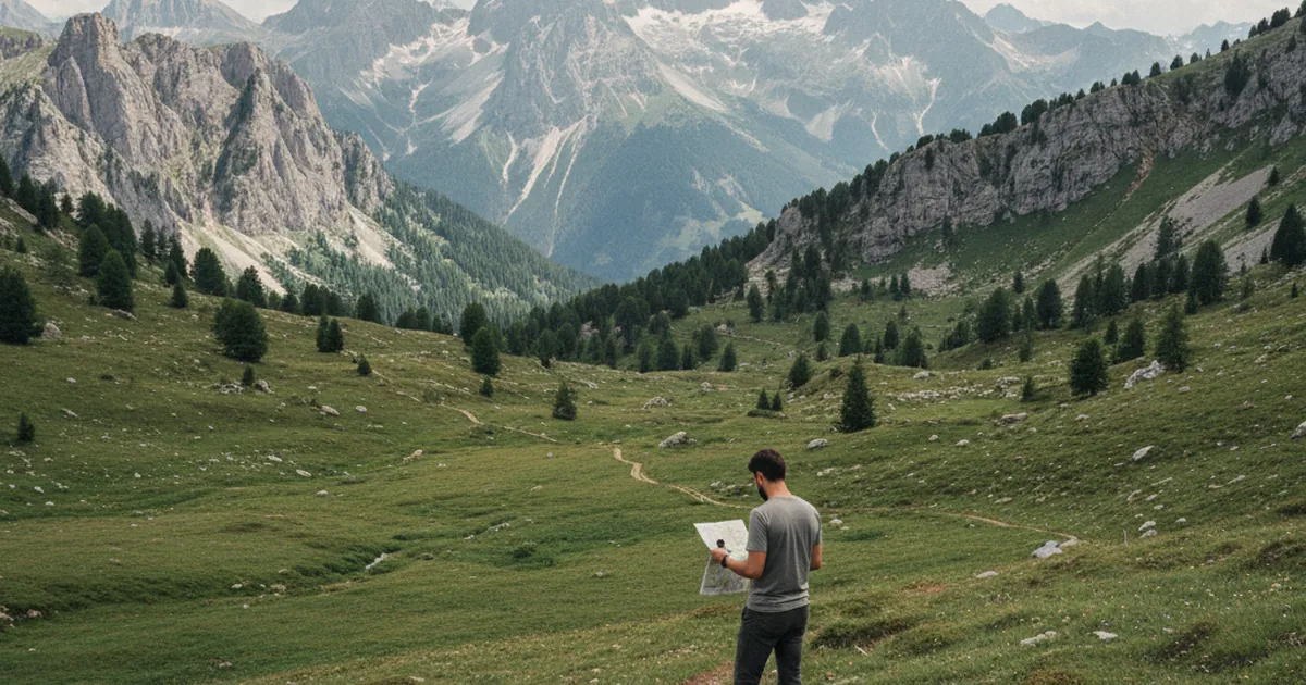
GPS has become second nature. You drop your phone in your jacket pocket, open the app, and follow the track without thinking much about where you're walking. It works, until it doesn't. A battery drained by the cold, a phone dropped in a stream, a satellite signal blocked by a narrow valley: digital failure in the mountains happens more often than most hikers expect. A magnetic compass never runs out of charge. Learning how to use one is one of the most useful investments you can make before your next day in the mountains.
Why GPS is not reliable in the mountains
Battery failure is the main problem. Smartphones rely on lithium-ion batteries that lose up to 40 percent of their capacity when temperatures drop below zero. On exposed terrain or during a spring outing where conditions can shift quickly, your phone can shut down well before the end of the day.
Dedicated GPS devices (trail watches, handheld receivers) are more robust but not indestructible. A hard knock on a rock, unexpected water exposure, a failed software update: these devices break down too. Deep gorges and narrow valley floors also degrade satellite reception enough to cause positioning errors of several dozen meters.
Choosing a compass
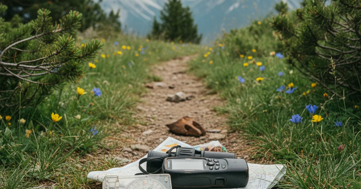
For hiking, the baseplate compass is the standard. It combines a magnetized needle in a liquid-filled capsule (the liquid dampens needle oscillations) with a transparent graduated baseplate you lay directly on the map to work with.
A few practical pointers:
- The capsule should be completely filled with liquid. A visible air bubble means the compass is damaged and should be replaced.
- Degree graduations (0 to 360) are more practical than mils for civilian use.
- A mirror-sighting lid improves precision on distant bearings, though it is not essential for beginners.
- Brands like Silva, Suunto, and Brunton have solid models starting around twenty euros.
- For winter outings or committing routes, choose a model with 2-degree precision graduations rather than 5-degree ones.
Avoid miniature compasses built into Swiss Army knives or keychains: their accuracy is not sufficient for safe navigation in the field.
Orienting your map
Before anything else, the map needs to be oriented, meaning physically aligned with the terrain around you. Lay it flat on a stable surface, away from any metal objects (which deflect the needle). Place the compass baseplate parallel to a map meridian. Rotate map and compass together until the red needle points to the N on the capsule. Your map is now oriented.
Magnetic declination (the difference between magnetic north and true north) is small in metropolitan France, roughly one to three degrees depending on the year and location. For a short hike in good visibility, you can ignore it. For a long route in low visibility, it is worth accounting for: recent IGN maps indicate it in the map legend.
Taking a bearing and triangulating
A bearing gives you the exact direction from your position to a visible landmark. The process is straightforward:
- Identify a summit or ridge feature visible to the naked eye and find it on your map.
- Hold the compass horizontally, baseplate pointing toward the landmark.
- Without moving the baseplate, rotate the capsule until the north arrow frames the red needle. Read the azimuth.
- On your oriented map, draw a line back from that point along the reversed azimuth (azimuth minus 180 degrees, or flip the baseplate). Your position is somewhere along that line.
Repeat the operation from a second distinct visible point. The intersection of the two lines is your position: that is triangulation. Two bearings are enough; a third lets you confirm.
Real situations in the Alps
You will not need a compass every weekend, but when you do, it matters. In the Pays du Mont-Blanc, late spring snowfields bury trail markers and cairns on north-facing slopes. In the Aravis and Bornes massifs, fog can roll in within thirty minutes and make familiar terrain unrecognizable. Hikes like Mont Baret and the Col des Contrebandiers or Les 3 Bornes cross open, lightly marked terrain where natural orientation without clear visual anchors becomes genuinely difficult.
In those conditions, even a basic grasp of compass work (orienting the map and following a simple azimuth) can be the difference between a normal day out and an unplanned night on the mountain.
A compass and a map do not replace each other: they complement each other. Neither requires a network connection, a battery, or a subscription. An hour of practice at home with a 1:25,000 map and a baseplate compass is enough to get the fundamentals down. Anyone who takes hiking in the French Alps seriously should set that hour aside before the next trip.