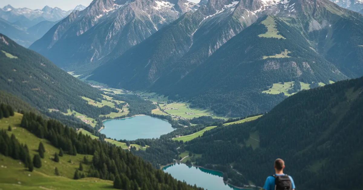
The Chablais massif stretches between Lake Geneva and the Giffre valley in northern Haute-Savoie. Its peaks stop well short of 3,000 metres, yet the variety of landscapes here catches first-time visitors off guard: flowering alpine meadows, limestone ridges, lake panoramas and, on clear days, Mont Blanc on the horizon. The massif holds UNESCO Global Geopark status and is one of the most accessible hiking areas in the region, less than an hour's drive from Geneva. Here is how to make the most of it in a single day, whatever your fitness level.
The Chablais: trails for every level
What sets the Chablais apart from other Haute-Savoie hiking destinations is the sheer range of what is on offer. Within an hour of walking you can be standing on open ridges looking down over Lake Geneva. Push on for two hours and you clear 2,000 metres. Landmark summits such as the Dent d'Oche (2,222 m) and the Roc d'Enfer (2,244 m) are serious objectives for experienced mountain walkers, but around them lies a whole network of gentler paths where you can enjoy the massif without committing to a full-on mountain day.
The trail network is well maintained, signposting is generally reliable, and trailheads are clearly marked. It is also one of the first areas in Haute-Savoie to become walkable in spring, particularly on the south-facing slopes that shed snow early.
Morzine and the Hauts-Forts: ridge walking for experienced hikers
Morzine is one of the best starting points for exploring the upper Chablais. The village sits at roughly 1,000 metres at the confluence of several valleys, and trails head out directly from the streets without any need to drive further.
The Boucle des Hauts-Forts is the showpiece route of the area: 12.86 km, 1,254 m of ascent, topping out at 2,445 m. It is a full day out, rated very difficult, and best suited to walkers comfortable with long climbs and technical terrain. The views from the Hauts-Forts ridge take in the surrounding Alpine massifs and the full sweep of Lake Geneva. Save it for settled summer conditions between June and October, and allow four and a half to five hours of walking time at a steady pace.
If you want something quieter from Morzine, the ascent to the Golèse refuge via the Mines d'Or (8.22 km, 450 m ascent, moderate) is a fine alternative for getting into the high pastures without committing to a full mountain day.
Les Gets and the Mont Chéry circuit: an accessible family outing
A few kilometres from Morzine, Les Gets offers gentler hiking terrain. The resort sits on an open plateau between two valleys, which means you reach panoramic trails quickly without dealing with serious altitude.
The Tour du Mont Chéry via Mont Caly is a good illustration of what this sector has to offer: 11.11 km as a loop, 511 m of ascent, rated moderate, with a high point of 1,572 m. The route follows open ridges with wide views over neighbouring massifs and the Arve valley. Allow around 3 hours. It works well as a family outing for children aged eight and over who are used to walking. The trailhead at Mont Caly is a short drive from the village.
Bellevaux and the Vallon valley: the quieter side of the Chablais
Bellevaux is one of the least touristy villages in the Chablais. Tucked in a narrow valley at over 800 metres, it has an authentic mountain feel and trails that stay quiet even at the height of summer. Worth keeping in mind if you want to avoid the crowds of July and August.
For an effortless outing, the short loop to Lac de Vallon ticks all the family boxes: 2.74 km, barely 37 m of height gain, calm alpine setting with views of the surrounding ridges. Allow under an hour. For something more substantial, the Col des Follys from Bellevaux (12.18 km, 743 m ascent, moderate) or the Chavasse and Chavan traverse via Lac de Vallon (9.64 km, 667 m ascent, moderate) are both solid day options in a corner of the massif that mainstream guides tend to overlook.
When to hike in the Chablais
The main season runs from June to late October. Below 1,500 metres some paths are walkable from late April or May depending on winter snowfall. Ridge crossings and higher summits such as the Hauts-Forts need July before they are reliably clear of snow.
September is often the most pleasant month: fewer people than in midsummer, warm afternoon light, and the pastures starting to turn autumn colours. Afternoon thunderstorms remain a risk until late summer, so leave early and check the forecast the evening before.
- For families with young children: July and August for mild temperatures and meadows in full bloom.
- For ridges and summits: mid-July to mid-September, when snow is absent and conditions are most stable.
- For peace and quiet: early June or late September, outside the tourist peak.
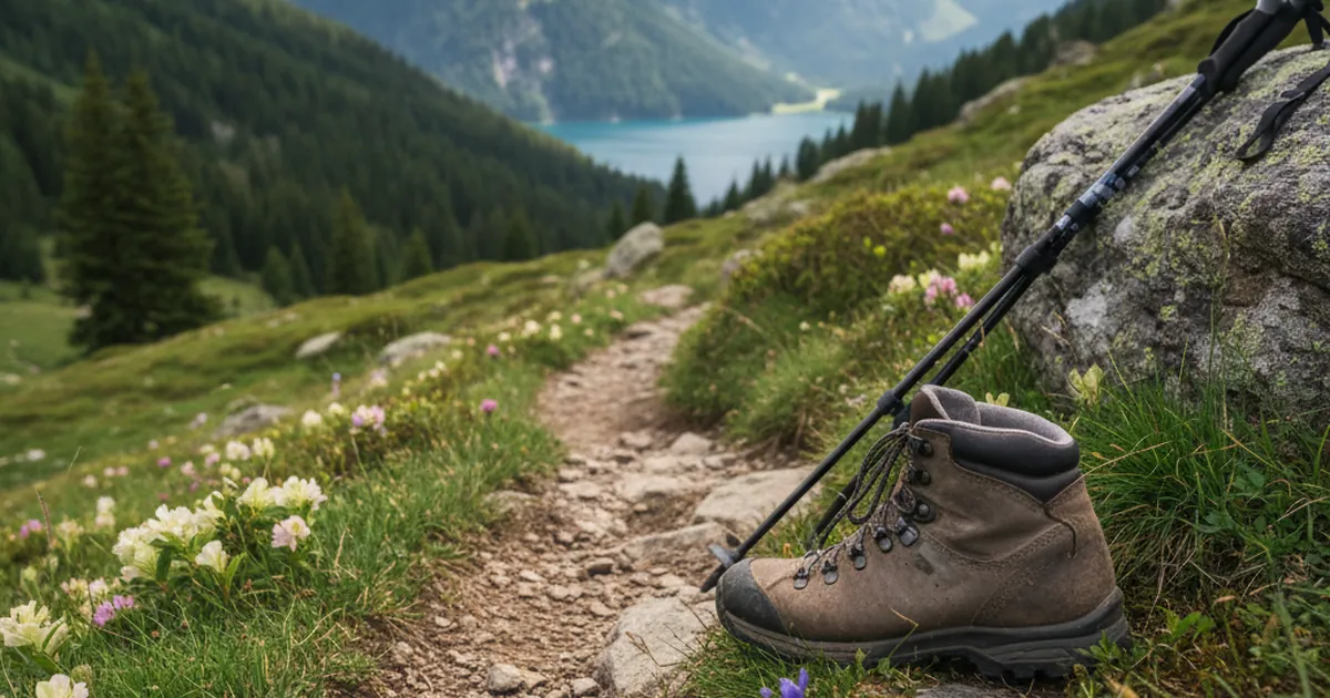
A few basics before every outing: hiking boots with a proper grip sole, enough water for the day (ridge sources are not always reliable), a warm mid-layer even in summer, and your map downloaded offline before you set off. For the full list of routes available across the massif, see all the trail guides on the Chablais hiking page.