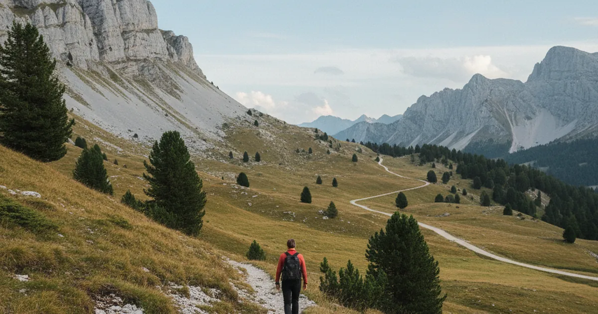
The mountains of Haute-Savoie often carry a long memory that most hikers never notice. Among the routes that shaped today's network of paths, the salt route holds a special place. For centuries, this commodity shaped life in Alpine villages: food preservation, livestock feeding, leather tanning. The Chablais region, with Évian-les-Bains as its gateway on the shores of Lake Geneva, is one of the areas where this history can still be read in the landscape.
Salt: the backbone of the Alpine economy
Before refrigeration, salt was essential to survival. In the Alps, it was used to preserve meat and cheese, and to feed livestock through the long winter months. Yet the mountains produce no salt: it had to be imported from distant saltworks or coastal marshes. This dependence created well-organized trade routes early on, marked by toll stations, resting places, and relay points for the mules.
The gabelle, the royal salt tax enforced in France until the Revolution, made this commodity even more precious and coveted. Smugglers seeking to transport it without paying taxes used the same mountain trails, the same passes, and the same discreet shortcuts as the licensed merchants.
Évian: a hub on Lake Geneva
Évian-les-Bains occupies a central position in Alpine trade thanks to its geography. Situated on the French shore of Lake Geneva, the town benefited from lake connections with Switzerland and other lake ports. Salt arrived by boat and was then redistributed inland. The markets of Évian served as a distribution hub for the entire Chablais region.
Local archives document intense commercial activity dating back to the Middle Ages. Toll rights, merchant charters, trade fair regulations: all of this gradually built a sophisticated logistical network around this vital commodity. The Savoyard authorities, and later French ones after the annexation of 1860, kept tight control over this trade. The paths leading from Évian into the hinterland were not secondary roads: they were the economic arteries of the region.
From mule tracks to hiking trails
The salt could not stay at the lakeside. It had to be carried up to the villages perched in the Chablais hills, across mountain passes, and out to remote alpine pastures. That work fell to the muleteers: men and beasts together, traveling through all weather. These paths were wide enough for loaded pack saddles, carefully paved on the steepest sections, and marked by wayside crosses or shrines at key crossings.
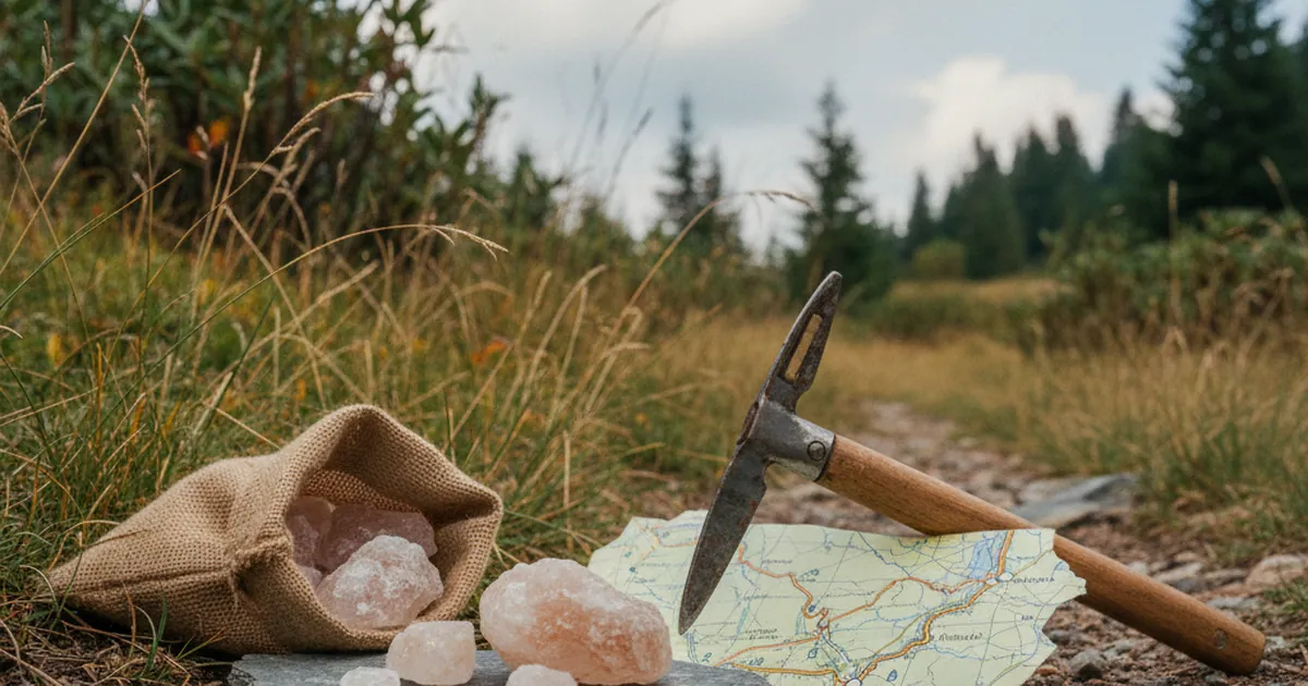
Today, much of this ancient trade network overlaps with the marked hiking trails across the Chablais massif. When you walk a well-worn path, sunken between two embankments, unusually wide for its surroundings, you may be treading an old mule track. Look for clues: stone borders, flagstones hidden beneath grass, ruts worn into the hardened ground.
Walking in the footsteps of the salt carriers
The area around Morzine is a good example of how commercial heritage and modern hiking routes overlap. The paths linking Chablais villages often follow ancient mule tracks. The Boucle des Hauts-Forts takes you across ridges from which Lake Geneva is sometimes visible: a reminder of the historical connection between the valley floor and the heights above.
In the same area, the Pointe de Ressachaux leads to alpine pastures along tracks whose straight, regular alignment suggests an origin much older than hiking tourism. These paths did not climb for the pleasure of the view: they climbed because people and goods had to get through.
Further south, in the Giffre valley, itineraries linking villages often reuse old trade paths. Place names are sometimes telling: a "Champ du roi" (King's field), a "Croix des marchands" (Merchants' cross), or a "Pas des mulets" (Mule's step) hint at a history the IGN map does not spell out explicitly.
Reading the landscape differently
Knowing you are walking on a centuries-old route changes how you look at the terrain. A roadside shrine is no longer just decorative: it may have served as a landmark for muleteers, a place of prayer before a difficult crossing. A fountain that seems too well-built for an isolated trail was probably a watering point for pack animals.
Reading the historical landscape is a skill that develops with practice. Local tourist offices and heritage associations sometimes publish themed routes following these old trade roads. Ask before you set out: some villages have preserved explanatory panels along these ancient commercial paths.
Planning your hike
- Check local guidebooks for historic trails in the Chablais region.
- Bring a 1:25,000 IGN map: old routes are often shown with specific symbols.
- Look at path construction: cut stone paving often marks an old, well-maintained route.
- Note place names: they often contain clues about a path's past use.
Hiking in the Savoyard mountains means walking through centuries of commercial and human history. The trails of the Chablais may not lead you all the way to the lakeshore, but they will have you treading in the steps of those who built, load by load, the economy of these valleys. The mountains have a long memory. You just need to know how to read it.